Uploads by Tomacruz
This special page shows all uploaded files.
| Date | Name | Thumbnail | Size | Description | Versions |
|---|---|---|---|---|---|
| 02:01, 8 August 2007 | Sather Gate.JPG (file) |  |
86 KB | 1 | |
| 02:06, 8 August 2007 | Sather Gate.jpg (file) |  |
86 KB | 1 | |
| 13:11, 13 August 2007 | Sya-logo.jpg (file) |  |
12 KB | 1 | |
| 08:15, 14 August 2007 | Sya-group.jpg (file) |  |
35 KB | 1 | |
| 04:14, 15 August 2007 | Tlyc-logo.gif (file) |  |
1 KB | 1 | |
| 05:37, 15 August 2007 | Tlyc-hobie-wedding.jpg (file) |  |
146 KB | 2 | |
| 05:56, 15 August 2007 | Tlyc-pic.jpg (file) | 16 KB | 1 | ||
| 06:00, 15 August 2007 | Tlyc-hobie.jpg (file) | 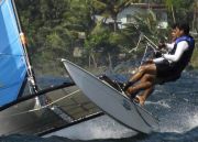 |
85 KB | 1 | |
| 04:27, 16 August 2007 | Interior.jpg (file) | 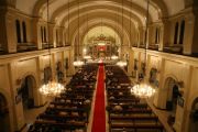 |
67 KB | 1 | |
| 12:25, 20 August 2007 | Round-the-volcano.jpg (file) | 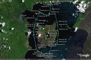 |
144 KB | This is a gps track of Eric Tomacruz for one of the Round the Volcano races. | 1 |
| 13:04, 20 August 2007 | Calavite-passage.jpg (file) | 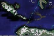 |
85 KB | GPS track of Eric Tomacruz in PHC 8. Track shows a hobie crossing Calavite Passage. | 1 |
| 03:56, 22 August 2007 | Pinatubo.jpg (file) | 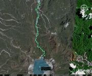 |
85 KB | GPS Tracks of LRCP Hike from Car Parking to Pinatubo Crater | 1 |
| 06:11, 22 August 2007 | Bel-air.jpg (file) | 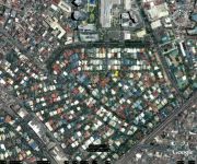 |
148 KB | This is a google earth view of Bel-Air 1, 3, & 4. The village has Rockwell Center for its Northern border, Estrella St. & Edsa for Southeast border, and Jupiter St. for its Western border. | 1 |
| 06:30, 22 August 2007 | BYOB flyer.jpg (file) |  |
344 KB | 1 | |
| 08:06, 22 August 2007 | Pulag.jpg (file) | 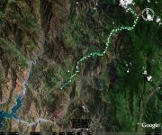 |
117 KB | Mt. Pulag GPS Tracks on Google Earth. Ambuklao Dam is on the Southwest. | 1 |
| 09:19, 29 August 2007 | Holy rosary parish boracay.jpg (file) | 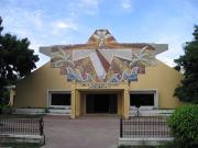 |
59 KB | 1 | |
| 08:24, 1 September 2007 | Lsgh-logo.png (file) |  |
43 KB | 1 | |
| 02:06, 11 September 2007 | Boracay.jpg (file) | 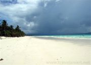 |
44 KB | 1 | |
| 03:44, 17 September 2007 | Heroes.jpg (file) |  |
27 KB | 2 | |
| 08:00, 18 September 2007 | Mshs-logo.jpg (file) |  |
11 KB | 1 | |
| 02:54, 20 September 2007 | Sekolah Menengah Ibrahim Logo.jpg (file) |  |
6 KB | 1 | |
| 08:38, 22 September 2007 | Chapter davao.jpg (file) | 61 KB | 1 | ||
| 12:47, 22 September 2007 | As-logo.png (file) |  |
16 KB | 1 | |
| 02:46, 23 September 2007 | Red cross logo.jpg (file) |  |
10 KB | 2 | |
| 13:15, 23 September 2007 | Calauit-zebra.jpg (file) | 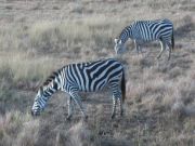 |
78 KB | 1 | |
| 13:16, 23 September 2007 | Calauit-giraffe.jpg (file) | 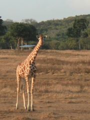 |
55 KB | 1 | |
| 06:19, 25 September 2007 | Seair-plane.jpg (file) | 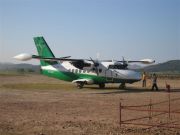 |
50 KB | 1 | |
| 06:20, 25 September 2007 | Seair-logo.jpg (file) |  |
3 KB | 1 | |
| 05:40, 6 October 2007 | Philippine-Airlines.JPG (file) | 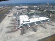 |
98 KB | 1 | |
| 04:23, 13 November 2007 | Apo reef.jpg (file) | 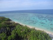 |
60 KB | View from Apo Reef Light House | 1 |
| 08:37, 15 November 2007 | Chateau Hestia Map.jpg (file) | 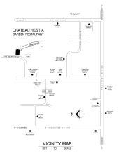 |
121 KB | 1 | |
| 12:34, 19 November 2007 | Southern Taal Lake.jpg (file) | 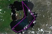 |
126 KB | Proposed route to visit the southern part of Taal Lake on Jan. 6, 2008. | 1 |
| 09:35, 9 January 2008 | Jobscitylogo.gif (file) | 1 KB | 1 | ||
| 09:37, 9 January 2008 | Makati City.jpg (file) |  |
9 KB | 1 | |
| 09:32, 21 January 2008 | Chateau Hestia Menu.jpg (file) | 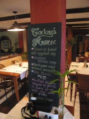 |
40 KB | 1 | |
| 05:25, 6 February 2008 | Bawai's.jpg (file) |  |
60 KB | 1 | |
| 05:26, 6 February 2008 | Bawai's Interior.jpg (file) |  |
48 KB | 1 | |
| 05:26, 6 February 2008 | Bawai's Menu.jpg (file) |  |
29 KB | 1 | |
| 00:54, 8 February 2008 | MobiDeep.JPG (file) |  |
91 KB | 1 | |
| 04:15, 26 February 2008 | Fragas Mansion.jpg (file) | 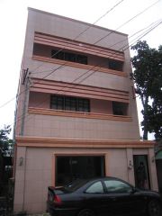 |
35 KB | 1 | |
| 04:16, 26 February 2008 | View from Fragas Mansion.jpg (file) | 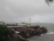 |
34 KB | View from Fragas Mansion | 1 |
| 13:35, 15 March 2008 | Cagban jetty port.jpg (file) | 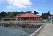 |
70 KB | 1 | |
| 13:36, 15 March 2008 | Boracay ferry boat.jpg (file) | 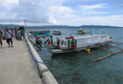 |
69 KB | 1 | |
| 03:01, 18 March 2008 | Chateau Hestia Map.gif (file) | 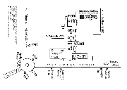 |
22 KB | 1 | |
| 09:09, 21 May 2008 | St peter and paul parish facade.jpg (file) | 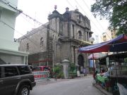 |
111 KB | 1 | |
| 09:11, 21 May 2008 | St peter and paul parish inscription.jpg (file) | 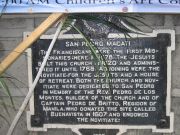 |
145 KB | 1 | |
| 09:16, 21 May 2008 | Saint Paul School of Makati.jpg (file) | 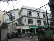 |
94 KB | 1 | |
| 09:24, 21 May 2008 | Anvaya-pool2.jpg (file) | 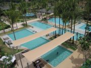 |
114 KB | 2 | |
| 09:27, 21 May 2008 | Anvaya-beach.jpg (file) | 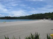 |
67 KB | 2 | |
| 09:31, 21 May 2008 | Anvaya-beach2.jpg (file) | 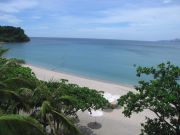 |
90 KB | 2 |

